Report | June 12, 2015
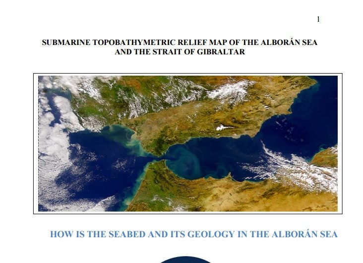
Submarine topobathymetric relief map of the Alborán Sea and the Strait of Gibraltar
What the purpose of this map is and what it was made for?
This relief Topobathymetric Map of the Alborán Sea and the Strait of Gibraltar is a product meant for scientific dissemination and teaching. It has been made taking advantage of the result of several studies carried out by the Spanish Institute of Oceanography (IEO) on seabeds and their geology. It is, thus, a product derived from the IEO scientific and technological activity.
This map is the third one that shows our seabeds. It is within the framework of a dissemination campaign of marine sciences in general, and of their scientific and technological activity in particular, started by the IEO to contribute to the improvement of the Spanish society scientific culture and what the society knows about the Institute and its activities.
IEO (Instituto Español de Oceanografía) – PDF
Download “Submarine topobathymetric relief map of the Alborán Sea and the Strait of Gibraltar” (PDF)


