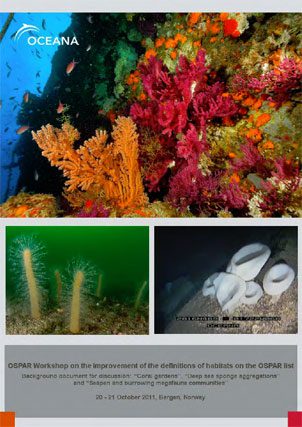
Report | October 21, 2011
OSPAR Workshop on the improvement of the definitions of habitats on the OSPAR list
Given the diversity of possible appearances of some habitats contained in the OSPAR List of Endangered and/or Declining species and habitats across the North East Atlantic, a more precise description of the habitat as it occurs in relation to different substrates, depths and regions will need to be developed.
When defining habitats, there are several very important parameters we must consider. Some of them are:
- Depth
- Type of seabed/substrate
- Predominant species
- Density at which predominant species appear
- Occupied extension/surface
- Species that are part of the community
However, some of these parameters are difficult to determine in many cases, due to the existing restrictions imposed by the methods used and the time required to be spend in obtaining data. This is mainly the case with the density and the occupied extension/surface.
According to the OSPAR background document “Case Report for the OSPAR List of threatened and/or declining species and habitats”, ICES attempted a first characterization of “coral garden” based on the density of stands and faunistic association in order to aid objective and comparable characterizations. They note that the quantification of the in situ density is often not possible due to technical or operational restrictions. The same happens in the case of other habitats which are the object of analysis in this workshop: “deep-sea sponge aggregations” and “sea pens and burrowing megafauna”.
Therefore, qualitative or semi-qualitative approaches will in many cases be more appropriate and will lead to further refinement on this habitats definition and its inclusion in national and European habitat classifications.
Some definitions have been given related to these habitats in the Northern regions of the OSPAR maritime area. However, there is a clear delay in the description of the possible appearances of these habitats in some regions, especially in IV and V OSPAR regions. In the same way, the information about the presence and appearance of these habitats in the Southern countries is not included in the classification of European habitats (EUNIS), so their description and inclusion will need to be developed.
In order to collaborate in the description of the habitats that are being analysed, OCEANA present in this report data gathering during the different expeditions carried out in region II (Kattegat area), region IV (Spain and Portugal coastal waters) and region V (Gorringe Bank). This data need to be discussed and subsequently added to the international lists.
It is important to bear in mind that this report highlights only qualitative descriptions of some of the different existing types, based only in the video clips that OCEANA have obtained in the expeditions made in recent years. Therefore it is additional information to the scientific information that already exists, which must be complemented by other scientific analyses. We must also take into account that the descriptions of the habitats and the fauna that make up the community are exclusively based on the descriptions of the macrofauna that can be directly observed and identify from the video clips obtained by means of immersions made by divers and ROV (Remotely Operated Vehicle).


