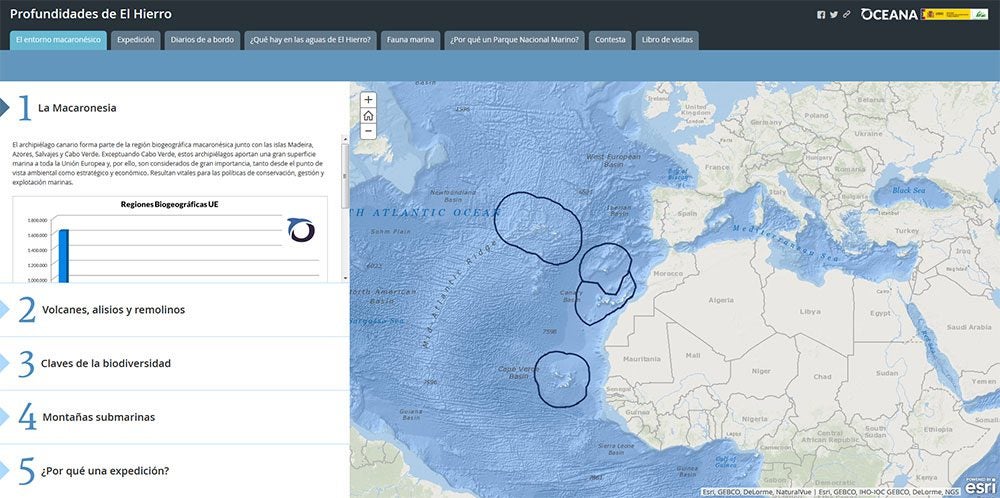
Oceana launches a new interactive display for El Hierro seabeds
Press Release Date: June 30, 2016
Location: Madrid
Contact:
Marta Madina | email: mmadina@oceana.org | tel.: Marta Madina
Oceana has collected hundreds of photos, videos and maps of its expedition in El Hierro waters to promote the creation of Spain’s first-ever marine National Park.
Oceana has launched a new viewer with information and images from the depths of the island of El Hierro. All the material comes from the expedition carried out in 2014, which like this initiative, was developed with the support of the Biodiversity Foundation, the Ministry of Agriculture, Food and Environment. The campaign used an underwater robot (ROV) capable of reaching 1000 meters deep, with the aim of investigating these uncharted waters and promoting conservation through granting it a National Park-level protection, the highest rank in conservation protection.
“The dissemination of scientific information is an important step to achieve consensus for the protection of areas of biological importance”, says Ricardo Aguilar, research director of Oceana in Europe. “The interactive display shows that El Hierro’s marine biodiversity is unique and deserves maximum protection. The importance of the findings in the depths of the Mar de las Calmas justifies the creation of what could be the first-ever marine national park in Spain “.
With the interactive display you can also find extensive information on the oceanographic characteristics of El Hierro and the Macaronesia area where it is located. The details of the expedition, logbooks, together with hundreds of images and videos of georeferenced sea beds, threatened and migratory species identified in the area and information on the proposed National Park in the Mar de las Calmas and interactive games are also available. Last month, residents of La Restinga were shown, for the first time, some of this materials used including a bottom gauge, to inform them about the expedition in their area.
Display: Profundidades de El Hierro


