August 12, 2017
A shipwreck!
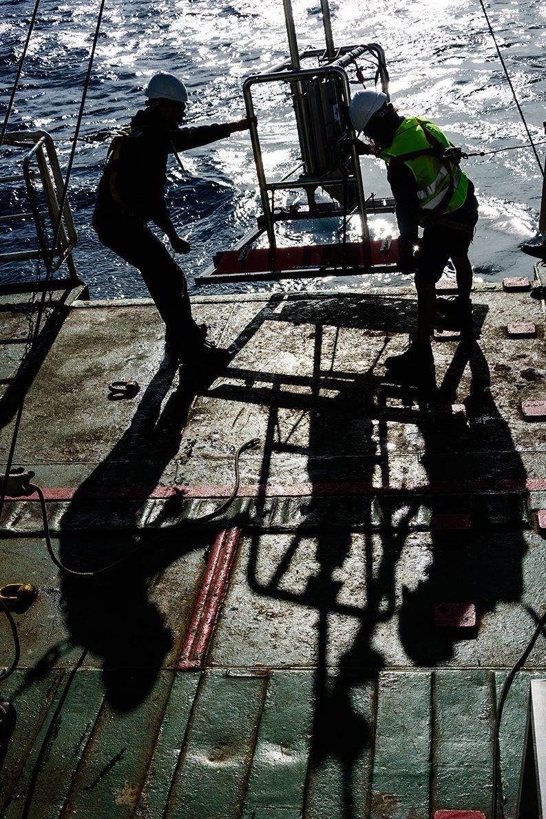
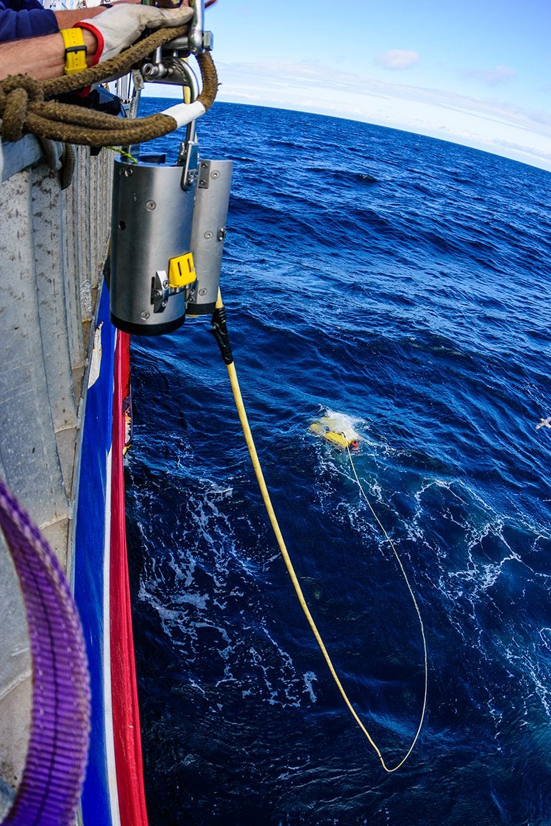
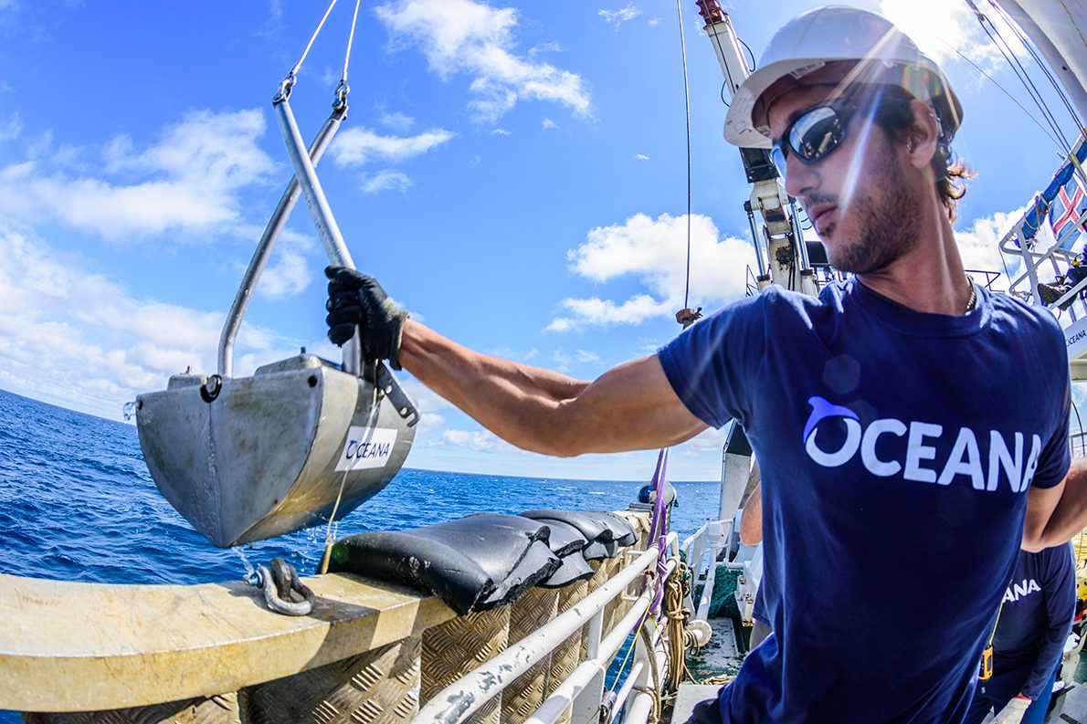
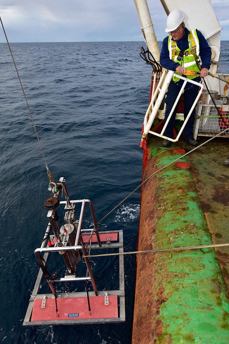
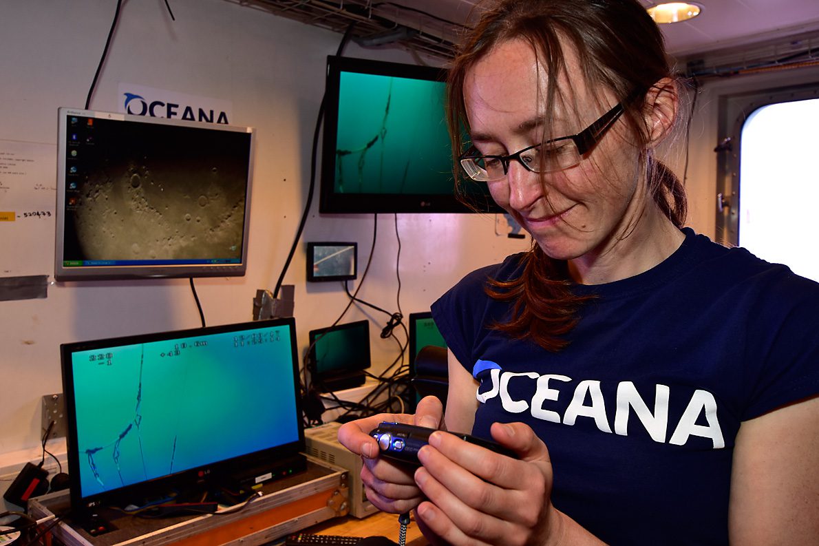
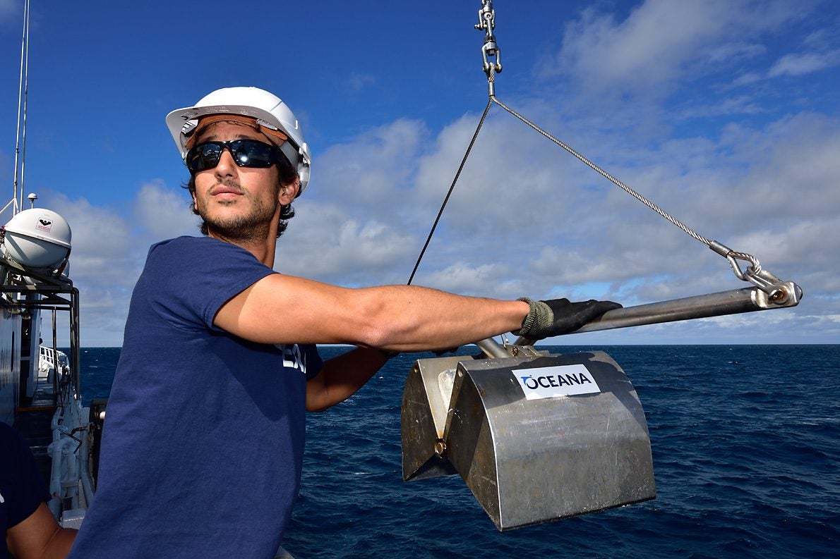
Today was a day filled with underwater photo and videos. We started with the SPI (Sediment Profile Image) a device that penetrates the sea bottom and makes a picture of the cross-section. This way, you get an idea about the layering structure of the seabed. Two locations were visited in an area near the Doggerbank. The rest of the day was reserved for ROV. The first dive was at the same area as the SPI. Here we saw sand, shell fragments and many flatfish. The next ROV-location was quite different: a shipwreck! The hard substrate enabled for large colonies of dead mans finger (soft coral), and bryozoa, wich served as food for diverse nicely-colored nudibranchs. Also cod and ling found a hiding place. Very different from the next ROV-location, located in the Central Oyster Grounds. Here, the sea floor consisted of mud and hardly any animal was encountered.

